Short answer: Use this neighbourhood checklist for families before you shortlist flats, not after. Time the school run and the drive to a hospital at peak hour. Check where the water comes from and whether the approach road floods. Then weight each check by what your family needs and score two or three areas side by side.
- Time beats distance. A school 9 km away can cost a parent over 300 hours a year more than one 3 km away (worked example below).
- Check the school's affiliation yourself on the CBSE or CISCE site. A brochure line isn't proof.
- Hospital access is about minutes at peak hour, and whether the hospital handles children's emergencies.
- Water and flooding affect daily life more than a clubhouse does. Ask residents.
- Our HOMES score: health, open space, movement, essentials, safety, weighted for your family.
- H: How close is help when someone falls ill?
- O: Is there open space your children will actually use?
- M: What does the daily movement look like?
- E: Are the essentials in place?
- S: Is the street safe in every season?
- How much time does a far-off school really cost?
- How far is too far from a hospital?
- How do you compare two neighbourhoods fairly?
- How do you check a school before you choose the area?
- Family neighbourhood checklist: the short version
- What we don't know
- Frequently asked questions
- Talk it through with acre&key
- Sources
Families don't buy a flat. You buy a daily routine: school drop, office commute, weekend park, the late-night pharmacy run. This neighbourhood checklist for families covers that routine in Bengaluru, area by area, before you get attached to a floor plan. For the building itself, use our site visit checklist.
H: How close is help when someone falls ill?
- Which hospital with a 24-hour emergency unit is nearest, in minutes at 7 pm on a weekday?
- Does it treat children's emergencies, or would you go further for a paediatric unit?
- Is it accredited? You can search hospitals on the NABH portal. Accreditation isn't everything, but it's a starting point.
- Is there a pharmacy and a clinic you can walk to?
O: Is there open space your children will actually use?
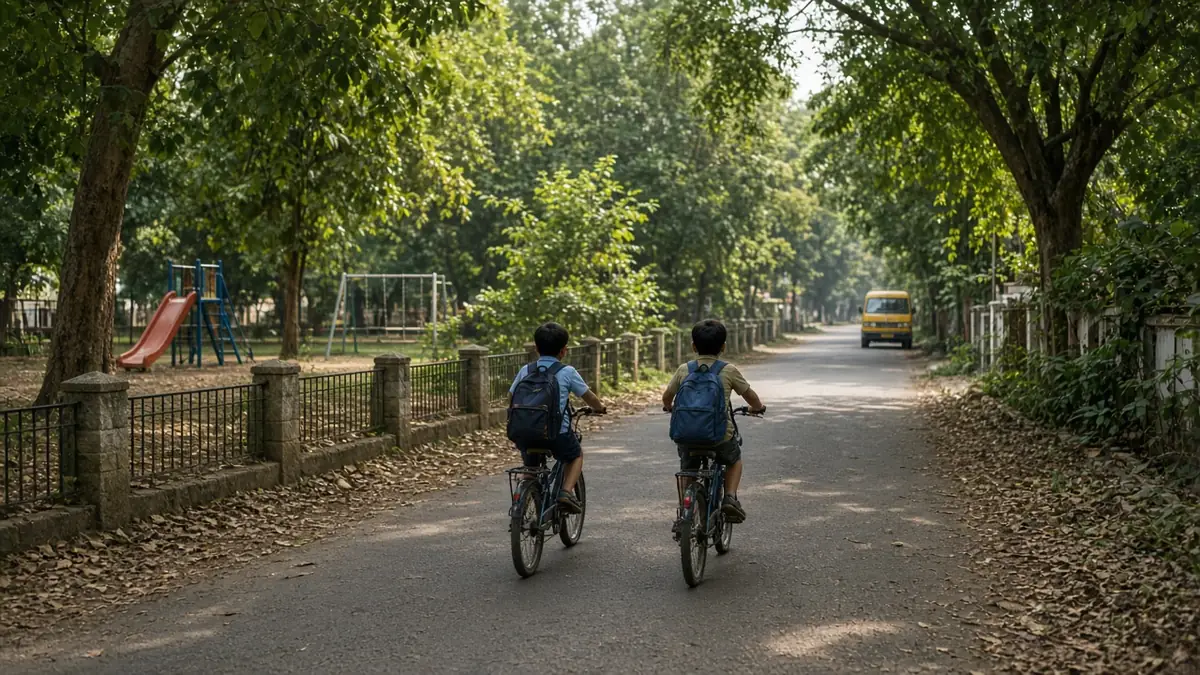
- Is there a public park within a 10-minute walk, not just a podium garden inside the project?
- Is the park maintained, lit in the evening and used by other families?
- Is there a playground, a ground for cricket or football, or a library nearby?
- What's next to the plot: a vacant site that could become a tower, a factory, a highway?
M: What does the daily movement look like?
- Time the school run at 7:30–8:30 am on a weekday, door to gate, both ways.
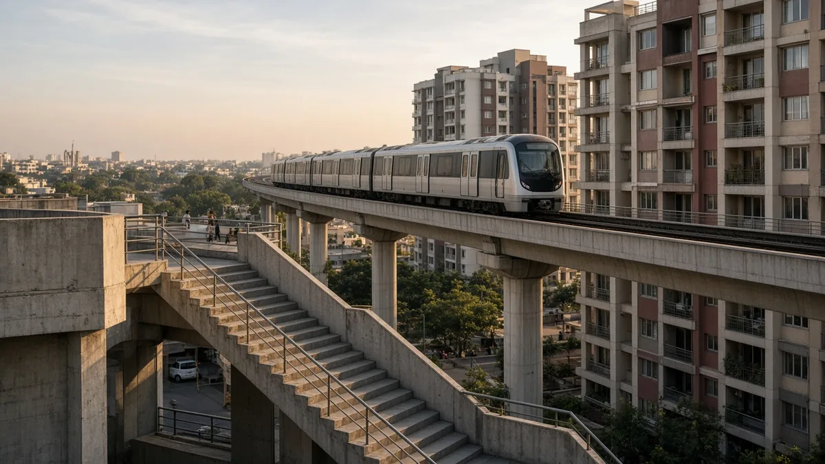
- Time your office commute at your real hours. If you'll use the metro, check whether the line is running or still being built on our metro status page.
- Does the school bus serve this area, and how long is the ride?
- Can a teenager walk or cycle safely to a bus stop or station?
E: Are the essentials in place?
- Does the building get BWSSB Cauvery water, or does it rely on borewells and tankers? Our water questions guide has what to ask.
- Is the area inside Cauvery Stage 5 coverage, and is the building actually connected? See which areas get BWSSB water.
- How often does power go out, and for how long? Ask two residents, not the sales team.
- Is there a grocery store, a bank and a market within 2 km?
S: Is the street safe in every season?
- Do the approach roads flood? Check our flood-prone areas map from KSNDMC data and ask residents about last monsoon.
- Are streets lit after dark, with footpaths and pedestrian crossings near the school?
- Is the building near a lake bed or stormwater drain? Our lake buffer checks explain the rules.
- Visit once after 8 pm. How does the walk from the main road feel?
How much time does a far-off school really cost?
This is the check families skip most often, because distance looks small on a map.
Worked example 1: the school run. Say Flat A is 3 km from your chosen school and takes 12 minutes each way at peak. Flat B is 9 km away and takes 35 minutes. A parent who drives the child there and back for both drop and pickup makes four one-way trips a day.
- Extra time per trip: 35 − 12 = 23 minutes
- Extra time per day: 23 × 4 = 92 minutes
- Over 200 school days (our assumption; check your school's calendar): 92 × 200 = 18,400 minutes, or about 307 hours
- That's about 38 eight-hour working days a year
If your child takes the school bus instead, the extra ride is 23 × 2 = 46 minutes a day, or about 153 hours a year on the bus. Neither number shows up in a price per sq ft.
The travel times here are illustrative. Time your own route; peak traffic in Bengaluru varies a lot by corridor.
How far is too far from a hospital?
Worked example 2: emergency access. Hospital X is 3 km away and Hospital Y is 12 km away. At an assumed peak speed of 15 km/h:
| 3 km away | 12 km away | |
|---|---|---|
| At 15 km/h (assumed peak) | 12 minutes | 48 minutes |
| At 25 km/h (assumed off-peak) | about 7 minutes | about 29 minutes |
| Difference at peak | 36 minutes |
The speeds are our assumptions, not measured data. The point holds anyway: distance is multiplied by traffic. A hospital that's "only 12 km" can be most of an hour away at the time you're most likely to need it.
How do you compare two neighbourhoods fairly?
Use our HOMES score. Give each letter a weight that adds up to 100, based on your family. Then score each area from 1 to 5 on each letter after your visits.
Worked example 3: a family with a school-age child and parents who work from home three days a week.
| HOMES letter | Weight | Area 1 score | Area 1 points | Area 2 score | Area 2 points |
|---|---|---|---|---|---|
| Health | 25 | 4 | 100 | 3 | 75 |
| Open space | 15 | 3 | 45 | 5 | 75 |
| Movement | 30 | 5 | 150 | 2 | 60 |
| Essentials | 20 | 3 | 60 | 4 | 80 |
| Safety | 10 | 4 | 40 | 4 | 40 |
| Total (out of 500) | 100 | 395 (79%) | 330 (66%) |
Area 2 has better parks and water, but the school run sinks it for this family. A couple with no children might weight movement at 15 and open space at 25, and the result could flip. That's the reason to set weights before you visit, so a nice clubhouse doesn't change them for you.
For comparing two specific flats once you've picked an area, use our side-by-side comparison method.
How do you check a school before you choose the area?
- CBSE schools: search the CBSE SARAS affiliated schools directory by affiliation number or district. It also lists disaffiliated and closed schools.
- ICSE/ISC schools: check with CISCE.
- State-board schools: ask the school for its recognition order from Karnataka's Department of School Education.
- Admissions: ask whether the school gives any preference by distance, and for which year. Rules vary by school and can change. We don't have a citywide list.
Family neighbourhood checklist: the short version
- [ ] School run timed at peak, both ways
- [ ] School affiliation checked on CBSE SARAS or CISCE
- [ ] Nearest 24-hour emergency unit timed at 7 pm
- [ ] Public park within a 10-minute walk
- [ ] Water source confirmed with a resident and a recent bill
- [ ] Monsoon flooding on approach roads asked about
- [ ] Evening visit done after 8 pm
- [ ] HOMES weights set before visiting, scores filled after
What we don't know
We don't have ward-level crime data, school-by-school admission rules or measured peak-hour speeds for every corridor. Where this page uses numbers for time and speed, they're assumptions to show the method. Your own timings on a weekday are better data than any average.
Frequently asked questions
Time the school run and hospital drive at peak hour, check the school's affiliation, confirm the water source and ask about flooding on approach roads. Then score two or three areas on the same checklist.
There's no fixed number. Time it instead. In our example, 9 km instead of 3 km added about 307 hours a year of driving for a parent who does drop and pickup.
Search the CBSE SARAS affiliated schools directory by affiliation number or district. It also lists schools that have been disaffiliated or closed.
Find the nearest 24-hour emergency unit and time the drive at 7 pm on a weekday. Ask whether it treats children's emergencies. The NABH portal lists accredited hospitals.
No. Being inside Cauvery Stage 5 coverage doesn't mean a building is connected. Ask residents and see a recent BWSSB bill for the building.
Check our KSNDMC-based flood map, ask residents about the last monsoon and look at the approach roads, not just the site.
It helps inside the gate. Your children still walk the street outside, so check lighting, footpaths and crossings near the school and bus stop.
It's our way to compare areas: health, open space, movement, essentials and safety. You weight each one for your family, score each area 1 to 5, and add up the points.
Sources
Checked 19 Oct 2026.
- CBSE SARAS, list of affiliated schools: https://saras.cbse.gov.in/SARAS/AffiliatedList/ListOfSchdirReport
- CISCE: https://www.cisce.org/
- NABH, find a healthcare organisation: https://nabh.co/find-a-healthcare-organisation/
- The Hindu, piped connections and Sanchari Cauvery, 14 May 2026 (news): https://www.thehindu.com/news/national/karnataka/bengalurus-water-woes-piped-connections-sanchari-cauvery-reduce-tanker-demand/article70978412.ece
- Bangalore Mirror, KSNDMC report of flood-prone locations, 12 Apr 2023 (news): https://bangaloremirror.indiatimes.com/bangalore/others/1-cm-of-rain-can-cause-floods-in-bengaluru/articleshow/99416059.cms
- KSNDMC, urban flood monitoring: https://ksndmc.org/Content/Documents/General/Urban%20Flood%20Monitoring.pdf