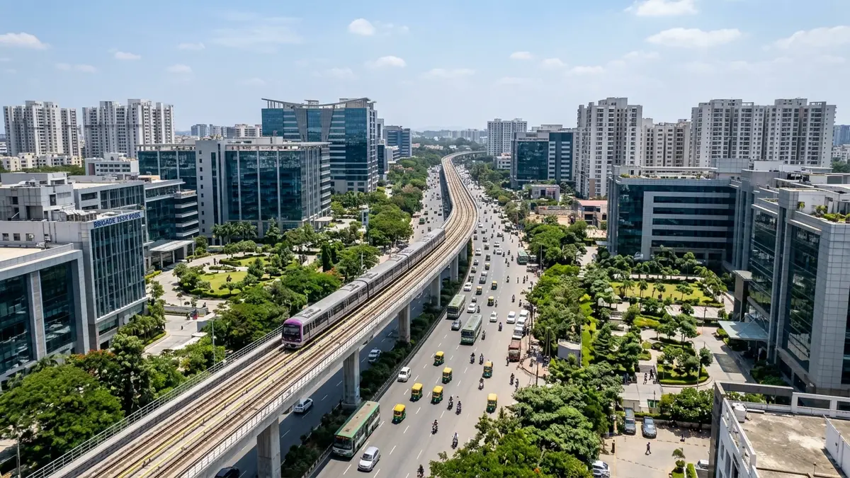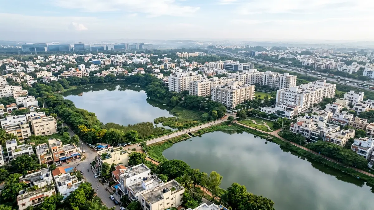
Horamavu and Kalkere offer more spacious, accessible homes in North-East Bengaluru compared to Kalyan Nagar and Hennur, but their daily livability hinges on two physical realities: negotiating the Horamavu railway underpass bottlenecks to reach the Outer Ring Road (ORR), and confirming that property boundaries sit outside NGT buffer zones of Horamavu Agara and Kalkere Lakes. While arterial access to Manyata Tech Park and KR Puram is attractive on a map, door-to-ramp travel times vary dramatically between central Horamavu and interior Kalkere.
Disclosure: acre&key's advice is free to buyers. We're an authorised sales partner for some projects and may be paid by the developer.
For buyers evaluating North-East Bengaluru, Horamavu and Kalkere frequently appear as value alternatives to Kalyan Nagar, HRBR Layout, and Hennur Road. The appeal is straightforward: larger carpet areas, a calmer residential atmosphere near water bodies, and geographical proximity to the Outer Ring Road tech corridor.
However, moving from an online listing to living here requires understanding that Horamavu and Kalkere are not homogeneous. They are divided by physical rail lines, lake overflow streams (rajakaluves), and distinct civic transition histories from erstwhile Gram Panchayats into BBMP.
1. Comparing Horamavu and Kalkere Side-by-Side
Understanding where each pocket sits geographically and functionally helps clarify which matches your daily commute:
| Feature | Horamavu | Kalkere |
|---|---|---|
| Physical Position | Direct access off Outer Ring Road at Horamavu junction | Deeper interior pocket north-east of Horamavu, extending toward Rampura |
| ORR Ramp Access | 5 to 15 mins off-peak; 25 to 45 mins at peak via Horamavu Main Road | 15 to 30 mins off-peak; 35 to 55 mins at peak via Kalkere Main Road / Channasandra |
| Key Choke Points | Horamavu Railway Underpass (RuB) & Horamavu Signal junction | Narrow village turns, Kalkere-Agara junction, and school bus stacking |
| Neighborhood Feel | Densely populated urban residential; bustling commercial streets | Greener, semi-suburban pocket with plotted layouts and lakefront apartments |
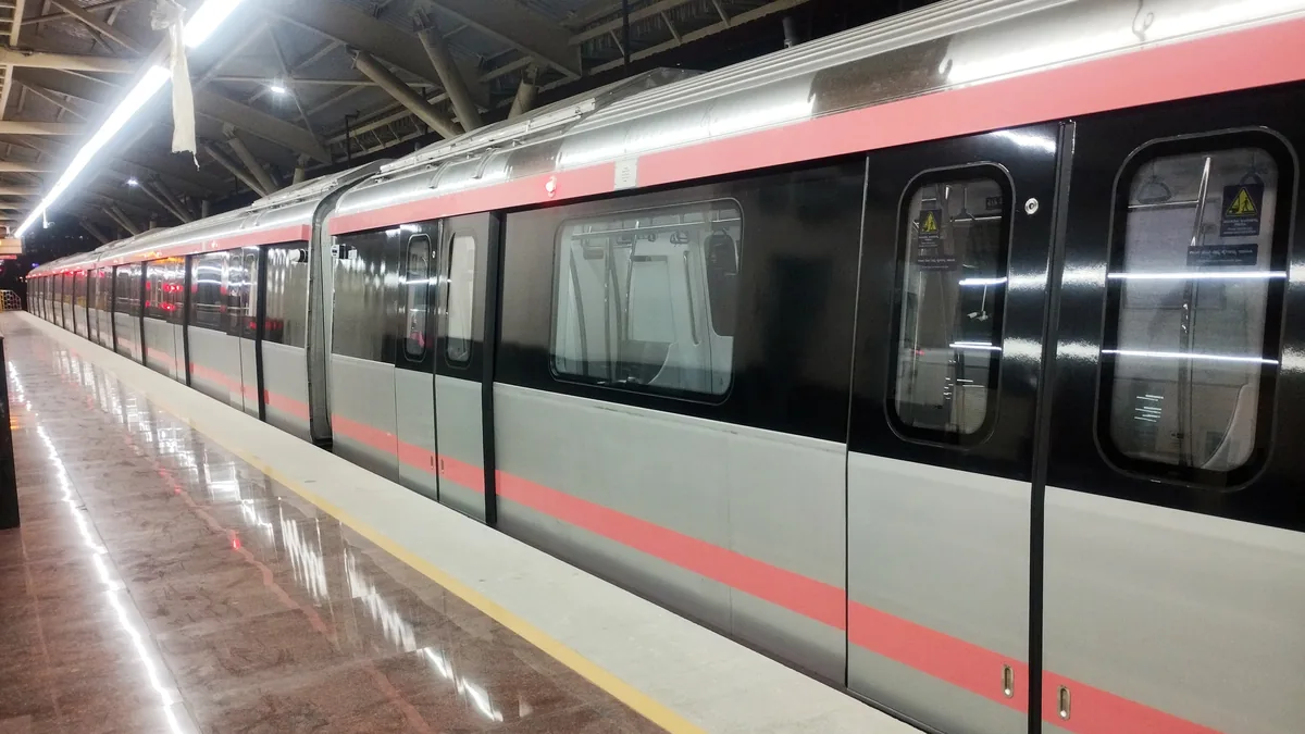
| Transit Access | Proximity to ORR bus network & upcoming Phase 2B Blue Line metro stations | Dependent on private vehicles, feeder cabs, or auto-rickshaws to reach ORR |
| Water Supply Realities | Mixed BWSSB Cauvery piped lines in established wards; heavy borewell use | Predominantly deep borewells and private water tanker delivery |
2. The Railway Underpass and Peak-Hour ORR Commutes
The biggest operational friction for anyone living in Horamavu is the physical railway line that divides the micro-market from the Outer Ring Road.
[ Interior Horamavu / Kalkere ]
              │
              ▼
   (Horamavu Agara Road)
              │
              ▼
   [ Railway Underpass (RuB) ] ──► (Bottleneck: 2 lanes, waterlogging during downpours)
              │
              ▼
    (Horamavu Main Road)
              │
              ▼
  [ Horamavu Junction & ORR ] ──► Manyata Tech Park (West) OR KR Puram / Whitefield (South-East)
The Railway Underpass (RuB) Reality
Traffic funneling toward the Outer Ring Road must cross the railway tracks. The existing Railway Underpass (RuB) is two lanes wide with sharp turns at the entry ramps. During morning peak hours (8:30 AM to 10:30 AM), traffic from both Horamavu Agara and Kalkere stacks up for hundreds of meters: - School & Office Stacking: School buses and personal vehicles create gridlocks where vehicles take 20 to 30 minutes simply to traverse the 800-meter stretch leading into the underpass. - Monsoon Water Accumulation: Because railway underpasses sit in natural topographic dips, heavy thunderstorms can lead to rapid runoff collection if silt traps are blocked, temporarily stalling low-clearance hatchbacks and two-wheelers.
The Commute Test
Before placing advance money on any apartment or plot in Horamavu or Kalkere, run a live weekday commute test: 1. Drive from the project's gate to the Outer Ring Road between 8:45 AM and 9:30 AM on a Tuesday or Wednesday. 2. Note whether the route forces you through the central railway underpass or allows alternative egress toward Banaswadi, Hennur, or TC Palya / KR Puram.
3. Lakes, Buffers, and Rajakaluve Verification
Horamavu and Kalkere are shaped by two prominent water bodies: Horamavu Agara Lake and Kalkere Lake (which connects hydrologically towards Rampura Lake and downstream valleys).
While lake views and waterside bunds make for attractive marketing brochures, they demand the strictest statutory scrutiny:
The 30-Meter NGT Buffer Rule
The National Green Tribunal (NGT) and Karnataka Government zoning mandates require a mandatory 30-meter buffer zone from the full tank level (FTL) boundary of any declared lake, inside which no permanent construction is permitted. - Survey Map Verification: Demand the certified revenue survey map (Akarband and Tippani) showing the exact village boundary of the lake and the property's survey numbers. - Setback Confirmation: Ensure that the sanctioned building plan does not place apartment towers, clubhouses, or even boundary retaining walls inside this 30-meter perimeter.
Rajakaluve (Primary, Secondary, Tertiary Drains)
Between Horamavu Agara and Kalkere Lake runs an interconnected network of natural storm-water drains: - Primary Stormwater Drains: 50-meter statutory buffer on either side. - Secondary Drains: 25-meter statutory buffer on either side. - Tertiary Drains: 15-meter statutory buffer.
Ensure your lawyer cross-references the property survey number against the BBMP Master Plan drainage layers. Confirm on the ground that no natural water channel has been culverted, covered, or narrowed to build internal access ramps or perimeter parking.
4. Title, Gram Panchayat History, and e-Khata Checks
Because Horamavu and Kalkere transitioned from rural panchayats into BBMP limits during Bengaluru's rapid eastern expansion, the paper trail requires careful vetting:
- Agricultural Land Conversion (Section 95): Confirm that the land was legally converted from agricultural to non-agricultural residential use by the Deputy Commissioner (DC Conversion) with all official conversion fees paid.
- Layout Approvals: For plotted developments or standalone villas, verify whether layout sanctions originate from BDA, BMRDA, or were unapproved private layouts formed on revenue land. Unapproved revenue layouts often struggle with statutory clear titles.
- BBMP e-Khata on e-Aasthi: Under Karnataka's updated registration rules, verify that the property has an active digital e-Khata issued under the e-Aasthi system with an authentic 10-digit Property Identification Number (PID). Check whether it holds a final e-Khata (A-Register) or a temporary non-transferable acknowledgment.
- Encumbrance Certificate (EC) for 30 Years: Run a continuous, unbroken 30-year search on Kaveri Online Services to ensure that no ancestral shares, undisclosed mortgages, or legal disputes affect the survey numbers.
5. Water Realities: Cauvery Stage 5 vs Borewells
Water supply in Horamavu and Kalkere varies significantly depending on the age of the neighborhood: - Cauvery Stage 5 Integration: While major arterial mains have been laid across parts of Horamavu under the 110-village Cauvery scheme, last-mile domestic metering and pipeline commissioning remain uneven across interior cross roads. - Borewell Reliance: Most mid-rise communities in Kalkere and Horamavu rely on on-site borewells. Due to heavy water extraction in the region, borewell yields drop sharply between February and May. - Private Tanker Surcharges: Review the apartment association's operational balance sheet for the past 12 months. Communities depending on private water tankers during peak summer frequently see monthly maintenance fees rise by ₹1,500 to ₹3,500 per unit. Verify whether the community has functional rainwater harvesting and on-site sewage treatment plants (STP).
6. Which Neighborhood Matches Your Priorities?
Choose Horamavu If:
- You prioritize shorter driving times to the Outer Ring Road and prefer being within 10 to 15 minutes of Manyata Tech Park or Banaswadi during off-peak hours.
- You want established retail, banks, supermarkets, and clinics right outside your residential layout.
- You are comfortable with denser traffic on main connecting roads and higher ambient urban noise.
Choose Kalkere If:
- You want a quieter, greener residential setting closer to open lake bunds and nature walks.
- You are seeking larger apartment configurations or standalone villa layouts at a more competitive entry cost per square foot.
- You work flexible hours or hybrid schedules where navigating peak-hour railway underpasses is not a daily necessity.
Due Diligence Checklist for Horamavu & Kalkere
Before signing an agreement of sale or transferring an advance deposit for property in Horamavu or Kalkere, verify these 8 statutory items:
Frequently asked questions
No. Those living guides provide dedicated micro-market data, property rates, and metro infrastructure analysis for their respective corridors. This guide focuses specifically on the Horamavu and Kalkere pockets: ORR access corridors, railway underpass realities, lake buffer checks, and title diligence.
During morning office hours (8:30 AM to 10:30 AM) and evening return peaks (6:00 PM to 8:30 PM), the Horamavu railway underpass (RuB) experiences severe vehicular stacking. Because it connects thousands of residents from Horamavu Agara, Kalkere, and Channasandra to the Outer Ring Road via narrow two-lane approach roads, clearing this 800-meter stretch can take 20 to 35 minutes.
Under National Green Tribunal (NGT) directives and Karnataka revenue laws, a strict 30-meter buffer zone is maintained from the full tank level (FTL) boundary of any lake. In addition, primary stormwater drains (rajakaluves) require a 50-meter buffer, secondary drains require 25 meters, and tertiary drains require 15 meters. Construction inside these zones is illegal and subject to demolition.
Portions of Horamavu receive BWSSB Cauvery water under the 110-village municipal project, but supply is not yet uniform across all interior residential layouts. Kalkere remains largely dependent on high-yield borewells and private water tankers during summer months. Always verify actual physical water connections and meter bills before purchasing.
You should look for a final digital e-Khata registered on BBMP's e-Aasthi portal with an active 10-digit PID number. Properties originating from Gram Panchayat layouts that have not regularized their title conversion or paid betterment charges may carry non-transferable B-Register entries, which nationalized banks will not mortgage.
Yes. Namma Metro Phase 2B (the Blue Line connecting Central Silk Board to Kempegowda International Airport via the Outer Ring Road) features planned stations along the ORR corridor, including stations serving the Horamavu junction vicinity and Babusapalya. However, you must still factor in your last-mile commute from your apartment gate to the ORR station.
Choose Horamavu if your daily priority is minimizing travel time to the Outer Ring Road, Manyata Tech Park, or Banaswadi, and you value having bustling supermarkets and commercial services within walking distance. Choose Kalkere if you prefer a quieter, greener environment near lake bunds, want larger living spaces, and have flexible or hybrid working hours.
Lawyer note: This guide provides analytical and due diligence context for buyers; it does not replace a formal title opinion. Always have a qualified property lawyer inspect the complete deed chain, layout clearances, and revenue maps for your specific survey number before executing an agreement.
CA note: Property purchase transactions involve stamp duty, registration charges, TDS under Section 194-IA, and capital gains implications. Consult a chartered accountant for personalized financial and tax guidance.
Sources
Checked 17 Nov 2026.
- Karnataka State Natural Disaster Monitoring Centre (KSNDMC) — Flood monitoring, catchment data, and rainfall observations: https://www.ksndmc.org/
- Karnataka Land Records (Bhoomi) — Village survey maps, RTC records, and Akarband boundaries: https://landrecords.karnataka.gov.in/
- Bangalore Metro Rail Corporation Limited (BMRCL) — Official Phase 2B Blue Line route map and alignments: https://english.bmrc.co.in/schematic-route-map/
- Greater Bengaluru Authority (e-Aasthi) — Digital property records and e-Khata verification: https://gbaeaasthi.karnataka.gov.in/
- Bangalore Water Supply and Sewerage Board (BWSSB) — Cauvery Stage 5 water network coverage: https://bwssb.karnataka.gov.in/